computed with free software
Solar irradiance
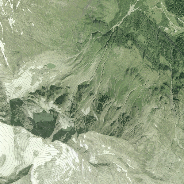
For a proper planning of the stations of the seismic monitoring network at the north face of the Hoher Sonnblick it’s important to know the solar irradiance in the area. Our stations will be powered by solar panels, therefore an optimum location guarantees a reliable power supply.
After a quick search in the internet, I found the GRASS GIS command r.sun and the addon r.sun.daily. These commands can be used to easily compute the solar irradiance for a selected area using a digital elevation model.
Luckily, geoland.at provides a digital elevation model of Austria at a 10m resolution over the open data website data.gv.at.
For the final visualization I used QGis.
SEISROCKHT